
Commercial Operations
Inspection, mapping, surveying, construction, utilities, real estate, public safety, and operating a drone business.
-
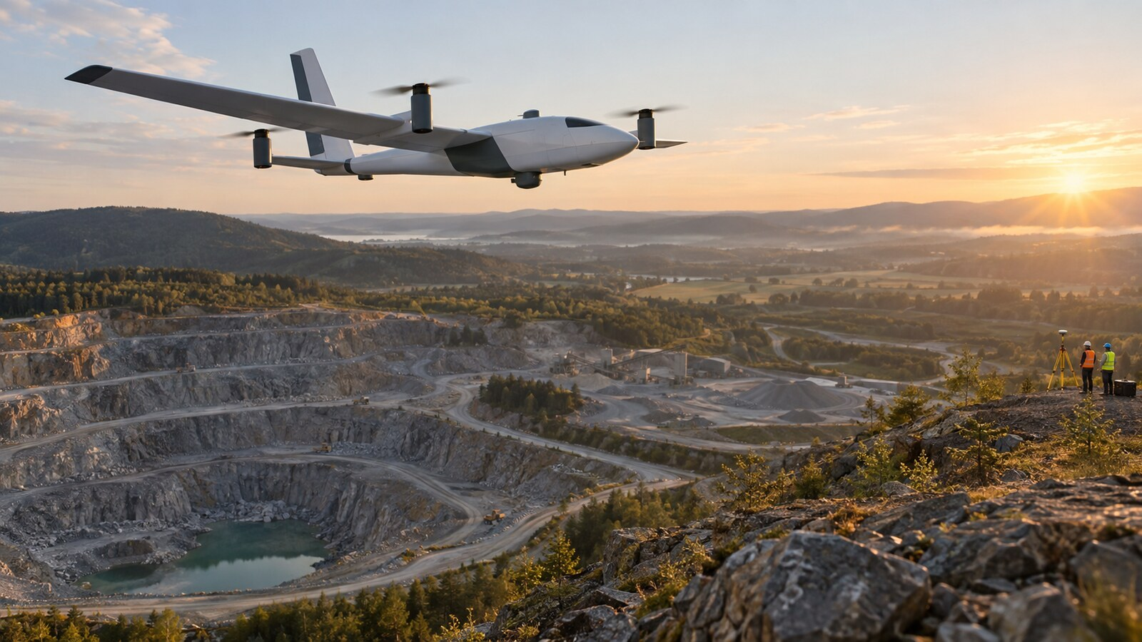
Quantum Systems Trinity Pro Review: Who Should Buy This Mapping eVTOL?
The Trinity Pro combines VTOL access with fixed-wing mapping endurance, but buyers should verify payloads, pricing, support and real-world output.
-

Drone Construction Progress Photography: A Repeatable Capture Workflow
Build a repeatable drone construction progress workflow with fixed viewpoints, safe site coordination, useful file naming and client-ready reports.
-

Thermal Drone Inspections: A Practical Guide to Reliable Capture and Reporting
Plan better thermal drone inspections with practical guidance on emissivity, reflections, image capture, temperature limits and defensible reporting.
-

UAV Morning Update: AirData Adds 10-Minute Rewind to Drone Live Streams
AirData’s new 10-minute rewind and cloud recording can strengthen drone-video workflows for DFR, inspection and BVLOS teams—within practical limits.
-
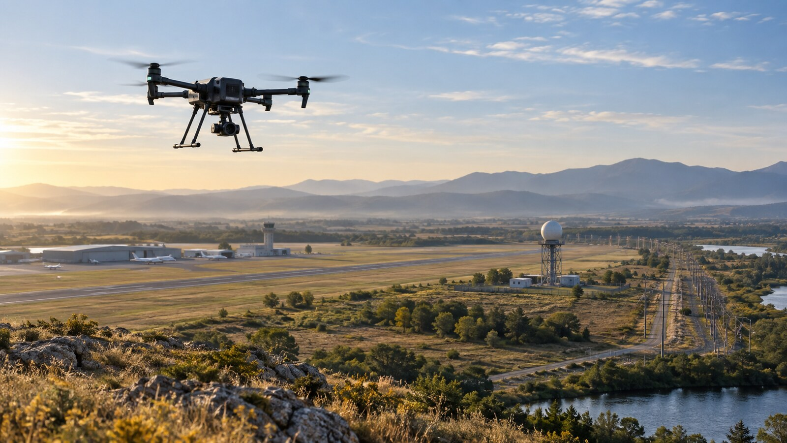
Quick Hits: Airspace Risk, BVLOS Radar and Drone Consolidation
Airspace incursions disrupt Moldova, Oklahoma adds BVLOS radar, GeoCue upgrades mapping LiDAR, and a major Ukrainian drone deal signals consolidation.
-
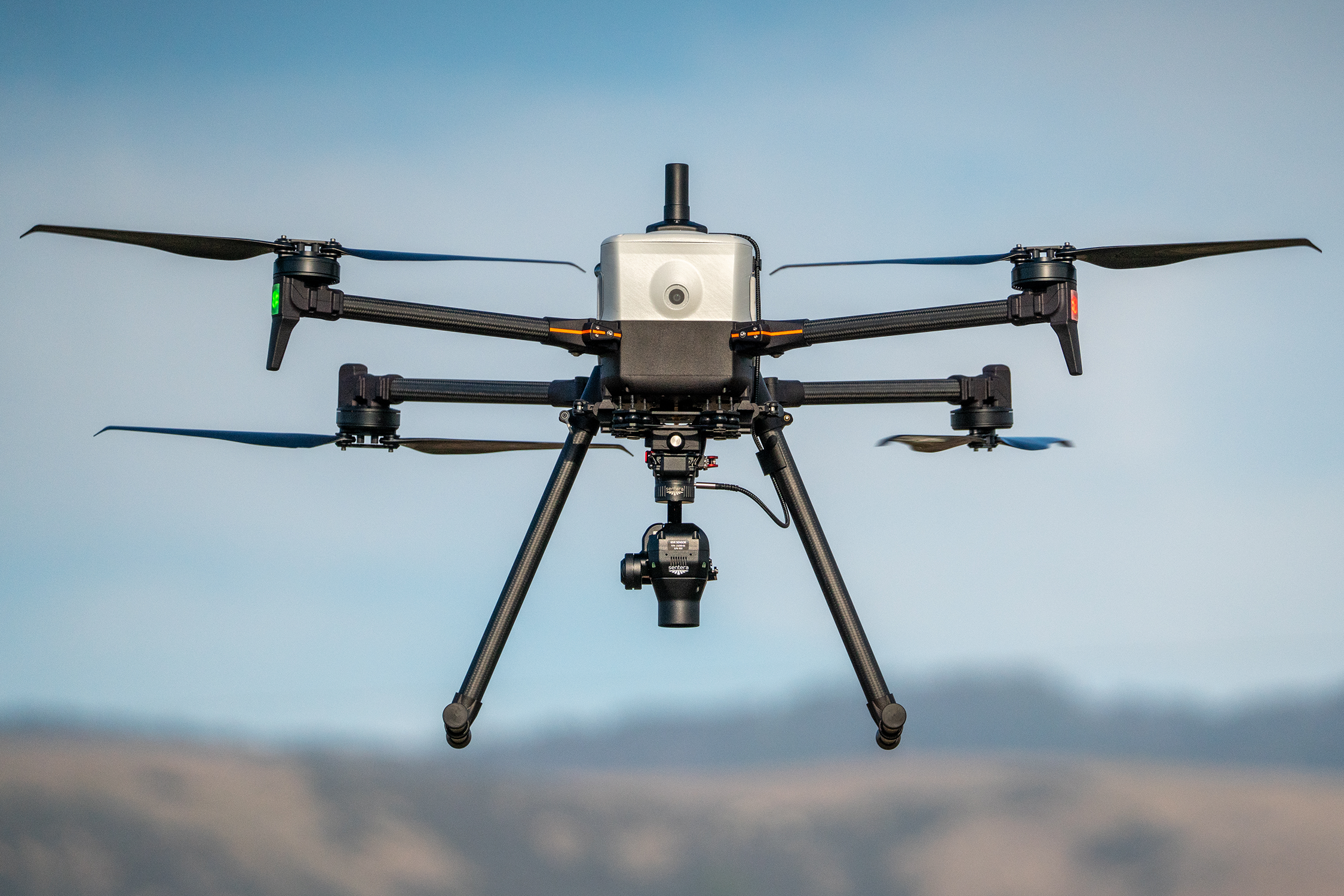
Inspired Flight IF800 Tomcat: Who Should Buy This Modular Workhorse?
Inspired Flight’s IF800 Tomcat offers modular U.S.-built lift for mapping and inspection, but buyers must budget for payloads, batteries, and training.
-
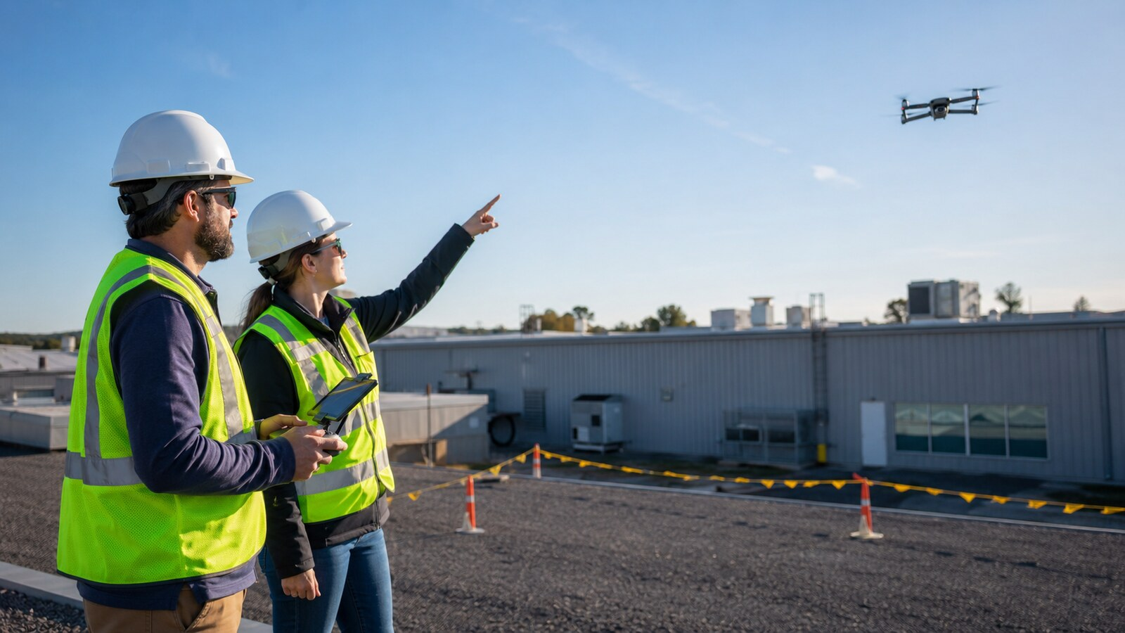
5 Things Every Drone Visual Observer Needs to Know
Learn five drone visual observer responsibilities, including RPIC communication, hazard callouts, stop-work conditions and final command authority.
-
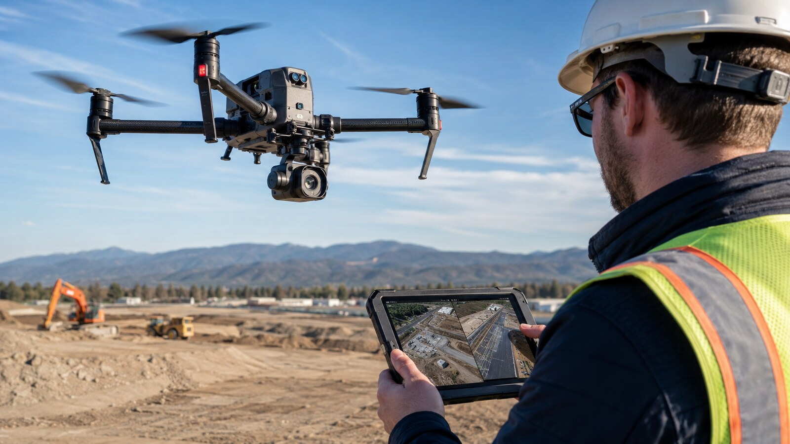
UAV Morning Update: Bechtel and Cyberhawk Expand Construction Drone Monitoring
Bechtel and Cyberhawk expand drone construction monitoring, testing autonomous capture and AI analysis while operators weigh practical limits today.
-

The Complete Drone Roof Inspection Workflow: From Client Call to Final Report
Follow a practical drone roof inspection workflow from client intake and site planning through image capture, defect documentation and final reporting.
-
Mechanical vs. Electronic Shutters: 7 Things Drone Mapping Buyers Need to Know
Compare mechanical and electronic drone shutters, mapping distortion, flight speed and when paying more for a mechanical shutter makes practical sense.