Bechtel and Cyberhawk are expanding an eight-year construction-drone collaboration, with new work focused on autonomous capture, automated processing and AI-assisted site analysis. The practical takeaway is less about a new aircraft than a maturing workflow: consistent data collection and trusted project context are becoming the foundation for useful construction automation.
What Bechtel and Cyberhawk announced
On September 8, drone-industry publication DRONELIFE reported that engineering and construction company Bechtel and drone-inspection specialist Cyberhawk had formalized an expansion of their collaboration. The companies have worked together since 2018, when Bechtel, Cyberhawk and Shell began a large-scale program of weekly drone-based construction monitoring.
The expanded work covers the chain from aerial capture through processing and project analysis. According to the announcement, priorities include autonomous data capture, automated processing pipelines and AI-assisted site analysis on live engineering, procurement and construction projects. Cyberhawk’s iHawk platform is the data-management layer used to organize visual information and make it available to project teams.
That is a broader commitment to test and scale a workflow—not a disclosed purchase order, fleet size or guarantee of autonomous operation at every Bechtel site. Neither company published performance measures such as labor-hours saved, defect-detection accuracy, survey tolerances or the number of projects covered. Those omissions matter when evaluating what has actually advanced.
Why construction drone monitoring is moving beyond imagery
A single orthomosaic or progress video can document a jobsite, but repeatable monitoring becomes more valuable when captures use consistent routes, timing, camera settings and control. That consistency lets project teams compare conditions over time rather than simply collect attractive aerial views.
The harder part is connecting an image to a decision. A useful system must preserve when and where the data was captured, relate observations to the correct work package, route issues to the right people and maintain an audit trail. AI may help prioritize change or risk, but its output still depends on the quality, coverage and context of the underlying data.
This is why the partnership’s emphasis on the full toolchain is more consequential than the aircraft itself. Commercial drones are already capable of repeatable mapping and inspection. Scaling across complex sites requires flight authorization, site coordination, data governance, reliable processing and clear responsibility for reviewing results.
What “autonomous” should mean to operators
Autonomous capture can describe several different operating models. It may mean automated waypoint flight with a pilot nearby, a docked aircraft operating with remote supervision, or a more advanced beyond-visual-line-of-sight operation. The announcement does not specify which model will be used at each project.
For U.S. jobsites, software capability does not replace operating authority. Pilots and program managers still need to account for airspace, visual-line-of-sight requirements or applicable waivers, people and moving vehicles, cranes, temporary obstructions, radio-frequency conditions and contractor coordination. Automated missions also need a current site model; a route that was clear last week may conflict with a new crane, lift or structure today.
Operators developing similar programs can adapt the field discipline in our drone roof-inspection workflow: define the client question before launch, collect data systematically, separate observations from professional conclusions and deliver findings in a form the client can act on.
Four questions buyers should ask
- Is collection repeatable? Routes, overlap, altitude, lighting and sensor settings should support reliable comparisons.
- How are AI findings validated? Buyers should ask for false-positive and false-negative handling, reviewer roles and measurable acceptance criteria.
- Where does the data go? Access control, retention, client ownership and integration with project systems should be explicit.
- What happens when conditions change? The operating plan should address cranes, crews, weather, lost links, geofencing and incomplete captures.
What happens next
The useful evidence will come from live-project results. Watch for the number and types of sites added, whether capture is supervised locally or remotely, which analyses are automated, and how outputs are validated against project records. Published measures of cycle time, coverage, accuracy and avoided rework would make the commercial value easier to assess.
For the UAV sector, the direction is clear even while the results remain to be quantified. Construction-drone programs are evolving from individual flights into managed data operations. Providers that can deliver safe, repeatable capture and decision-ready information—not just imagery—will be better positioned to scale.
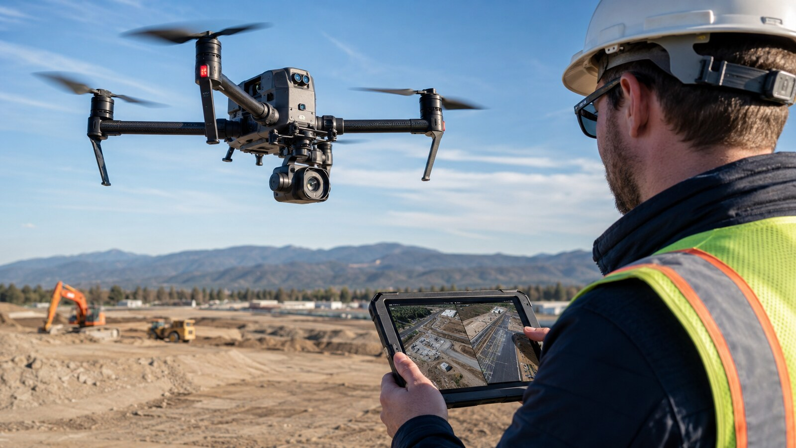
Disclosure: This article contains no affiliate links or paid placements. The featured image is an original editorial illustration of a generic construction-monitoring workflow and does not depict a Bechtel or Cyberhawk project.