Disclosure: All About UAVs may earn a commission from qualifying purchases made through links in this article, at no additional cost to you. Recommendations are based on the criteria explained here. We evaluated the aircraft discussed from published specifications; we did not perform hands-on comparative testing.
The best first drone for an inspection business is not necessarily the most expensive aircraft. It is the least expensive system that can reliably create the deliverable your client needs, operate safely at the intended site, and fit into a workflow you can support.
Key takeaway: A capable RGB camera drone can start a roof, façade, or construction-documentation service. Mapping, thermal inspection, and long-range visual inspection require specific sensor capabilities that should be justified by paying work—not purchased on speculation.
Start with the deliverable, not the aircraft
Ask what the client expects to receive. If the answer is organized overview and detail photographs, a good stabilized RGB camera may be enough. If the client needs an orthomosaic, temperature measurements, repeatable coordinates, or detailed imagery from a safe stand-off distance, the aircraft must support those outputs.
| Inspection service | Minimum useful capability | Likely upgrade |
|---|---|---|
| Roofs and façades | Sharp RGB stills, reliable hover, obstacle awareness | Optical zoom for detail at greater stand-off |
| Construction progress | Consistent RGB capture and repeatable flight planning | RTK or mechanical shutter for mapping |
| Mapping and stockpiles | Mission planning and suitable photogrammetry camera | Mechanical shutter, RTK/PPK, survey control |
| Solar and electrical | Radiometric thermal plus matched RGB imagery | Zoom, higher thermal sensitivity, enterprise reporting |
| Utilities and towers | High-detail RGB and safe stand-off | Optical zoom, thermal, stronger obstacle avoidance |
When a standard camera drone is enough
A modern prosumer camera drone can produce useful roof, gutter, façade, real-estate, and construction-progress imagery. Prioritize sharp still photographs, manual exposure control, stable flight, a controller display you can see outdoors, reliable batteries, and a manageable file workflow.
A consumer aircraft can be a sensible validation tool, but it has limits. Digital zoom does not create the same detail as optical zoom, and a rolling electronic shutter can introduce distortion during some mapping missions. Consumer systems may also lack enterprise fleet management, weather resistance, payload options, or long-term support commitments.
Before buying, check the exact aircraft’s Remote ID status, available support, replacement-battery supply, and compatibility with your intended software. The FAA requires Part 107 operators to register each aircraft, and registered drones generally must comply with Remote ID unless a specific exception applies.
When zoom becomes more valuable than megapixels
For towers, energized equipment, steep roofs, and obstructed façades, the best image is often the one captured without moving dangerously close. Optical or dedicated telephoto cameras help preserve detail while maintaining stand-off distance.
DJI’s published specifications position the Mavic 3 Enterprise series as a compact commercial platform with enterprise mapping, zoom, and thermal variants. DJI’s newer Matrice 4 Series separates the 4E, aimed toward geospatial work, from the 4T, which combines wide, telephoto, and thermal sensors for inspection and public-safety applications.
Aircraft availability, procurement rules, client security policies, and support can change. Verify those issues before designing a business around any model—especially when a customer requires an approved-country or government-compliant platform.
Check out DJI Mavic 3 drones here.
Thermal requires more than a colorful image
If the client wants temperatures rather than a visual heat pattern, look for a radiometric thermal system that records temperature data for individual pixels. Resolution, thermal sensitivity, accuracy specifications, lenses, calibration, environmental conditions, viewing angle, surface emissivity, wind, and electrical load can all affect interpretation.
Current enterprise examples include the Skydio X10, whose published sensor options include 640 × 512 radiometric thermal imaging, and the Autel EVO Max 4T, which also lists a 640 × 512 thermal sensor with zoom capability. These systems serve more demanding inspection work, but specifications alone do not establish which one fits your workflow, procurement requirements, or client environment.
Thermal equipment is difficult to justify if you do not yet have thermal clients. Renting, subcontracting, or partnering with a qualified thermographer can validate demand while reducing capital risk.
Mapping changes the camera requirements
For routine photography, a mechanical shutter is optional. For efficient mapping, it can be a major advantage because it reduces rolling-shutter distortion while the aircraft moves. RTK or post-processed kinematic positioning can improve geotag quality, but neither automatically turns a drone map into a legal survey.
Your system also includes processing software, a capable computer or cloud plan, ground-control equipment when required, data storage, and a quality-assurance method. Buying an RTK aircraft without understanding coordinate systems, checkpoints, accuracy reporting, and professional-surveying boundaries does not create a mapping business.
Budget for the complete field system
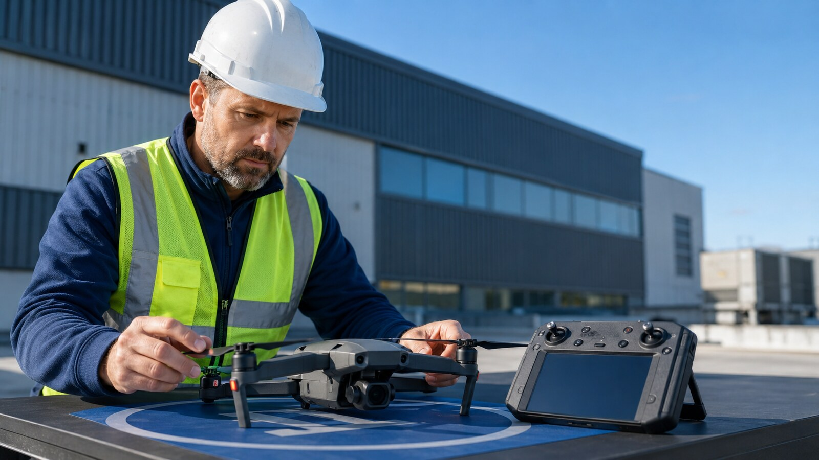
The aircraft is only part of the startup cost. Plan for several batteries, charging, spare propellers, compatible high-endurance memory cards, weather protection, a visible landing area, equipment cases, PPE, and backup storage. Useful accessories include a weighted landing pad, high-visibility vest, handheld anemometer, and protective equipment case.
Check every accessory against the aircraft manufacturer’s requirements. A cheap battery, charger, or incompatible memory card can create more business risk than it saves.
Buy, rent, or subcontract?
Buy equipment when you have repeatable demand, understand the workflow, and can recover the investment within a reasonable number of jobs. Rent when the sensor is needed occasionally or when you are testing a new service. Subcontract when the project requires specialized interpretation, licensing, equipment, or experience you do not yet possess.
A backup aircraft becomes valuable when missing a client deadline would cost more than maintaining redundancy. It does not have to duplicate every premium capability, but it should protect the services you promise most often.
The practical starter recommendation
For a new operator focused on visual roof, building, or construction documentation, start with a reliable RGB aircraft, enough batteries for the planned work, a safe field kit, and a tested reporting process. Do not buy thermal, RTK, or high-zoom hardware until your chosen specialty requires it and clients are prepared to pay for the resulting deliverable.
Use our guides on starting a drone inspection business, pricing commercial drone work, and quoting your first inspection to connect the equipment decision to a real service. The right drone is the one that supports a profitable, repeatable client outcome—not the one with the longest specification sheet.