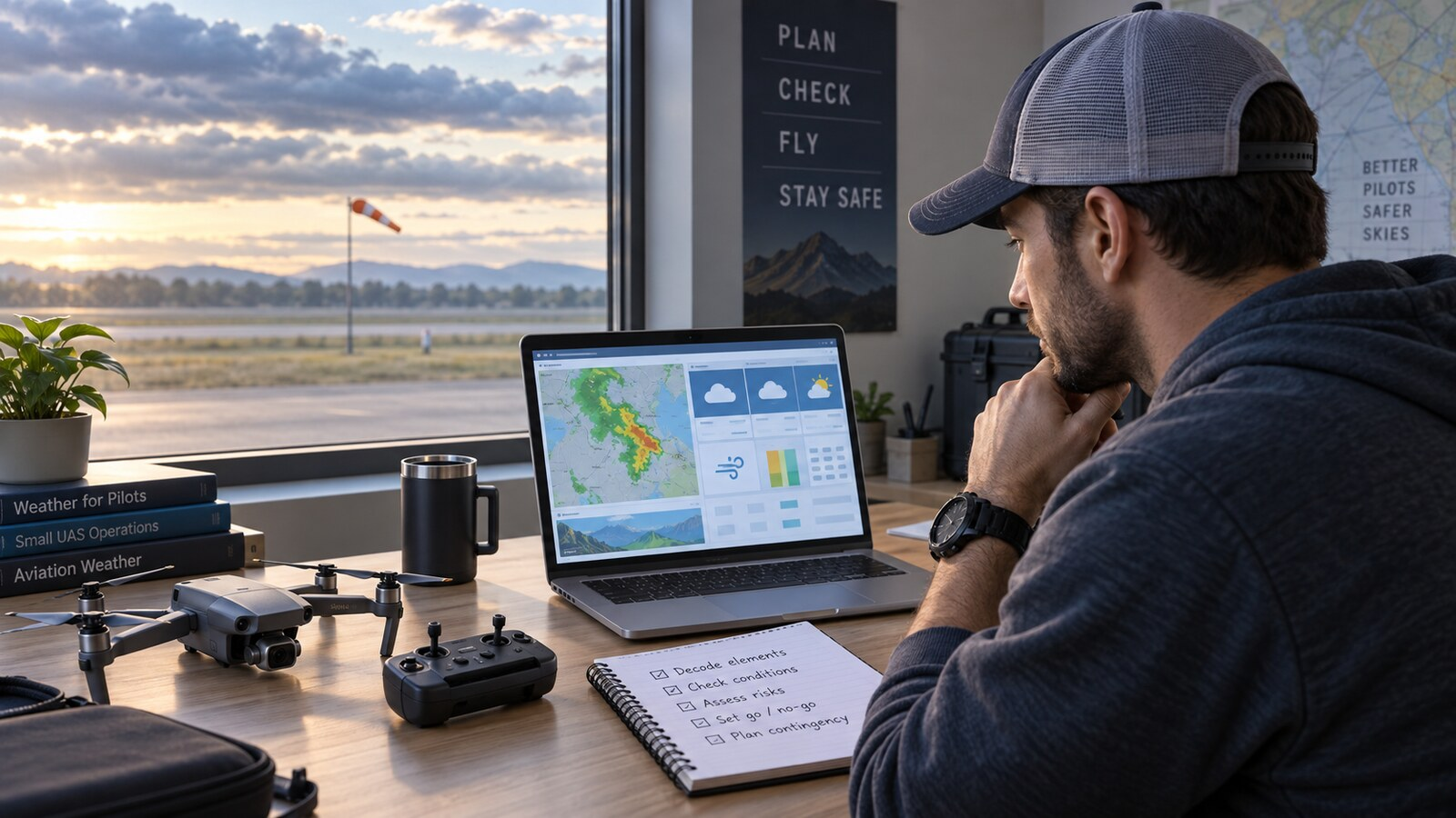
A METAR looks dense because it compresses an entire airport weather observation into one line. The good news is that the groups normally follow a predictable order. Learn that order—station, time, wind, visibility, weather, clouds, temperature and pressure—and you can decode most Part 107 weather questions without memorizing every abbreviation.
This guide walks through three original training examples, from straightforward conditions to thunderstorms and winter obscuration. These reports are educational examples, not current observations. Before a real flight, check current weather for the operation area and compare it with what you actually observe at the control station.
The METAR decoding order
Read from left to right using this sequence:
- Report type: METAR is a routine observation; SPECI is an unscheduled special report.
- Station: the four-letter ICAO identifier, such as KCHS.
- Date and time: day of the month followed by time in UTC, ending in Z.
- Wind: direction, sustained speed and any gusts, in knots.
- Visibility: prevailing visibility in statute miles for U.S. reports.
- Present weather: precipitation, obscuration and other reported phenomena.
- Sky condition: cloud coverage and height above ground level.
- Temperature/dew point: whole degrees Celsius.
- Altimeter: pressure setting, shown in inches of mercury in a U.S. METAR.
- Remarks: additional information after RMK.
A group can be omitted when that element does not occur or cannot be observed, so do not panic if every report does not look identical. Use the order to determine what each group is likely describing.
Four shortcuts that prevent common mistakes
- Wind comes from the stated direction. In 22008KT, the wind is coming from 220 degrees at 8 knots.
- Cloud heights use hundreds of feet AGL. BKN018 means broken clouds at 1,800 feet above ground level.
- M means minus in temperatures. M03/M04 means minus 3 Celsius and minus 4 Celsius.
- Weather intensity uses symbols. A minus sign is light, no sign normally means moderate, and a plus sign is heavy.
Two modifiers also appear frequently. AUTO identifies a fully automated report. COR means the observation corrects an earlier report.
Example 1: favorable weather with two cloud layers
METAR KCHS 101456Z 22008KT 10SM FEW025 SCT060 28/22 A3005 RMK AO2METAR KCHS: This is a routine observation for Charleston International Airport. 101456Z means the observation was taken on the tenth day of the month at 1456 UTC—not 2:56 p.m. local time.
22008KT: Wind is from 220 degrees at 8 knots. 10SM reports 10 statute miles of prevailing visibility.
FEW025 SCT060: There are a few clouds at 2,500 feet AGL and scattered clouds at 6,000 feet AGL. Few and scattered layers are not ceilings. A ceiling is based on the lowest broken or overcast layer, or vertical visibility into an obscuration.
28/22 A3005: Temperature is 28°C, dew point is 22°C, and the altimeter setting is 30.05 inches of mercury. RMK AO2 begins the remarks and identifies an automated station that can distinguish precipitation types.
Part 107 takeaway: The reported visibility is comfortably above the regulatory minimum, and no ceiling is reported. That does not make the flight automatically safe or legal. Check the report’s age, forecasts, airspace, NOTAMs and conditions at the actual operation site.
Example 2: gusts, mist and thunderstorm rain
METAR KCLT 101751Z 19014G24KT 5SM -TSRA BR BKN018CB OVC040 23/21 A2992 RMK AO2KCLT 101751Z: This is Charlotte on day ten at 1751 UTC. 19014G24KT means wind from 190 degrees at 14 knots, gusting to 24 knots. The G separates sustained wind from the peak gust.
5SM -TSRA BR: Prevailing visibility is 5 statute miles. The minus sign makes the thunderstorm rain light in intensity; TS means thunderstorm, RA means rain, and BR means mist. “Light” describes precipitation intensity, not overall flight risk.
BKN018CB OVC040: Broken cumulonimbus clouds are reported at 1,800 feet AGL, with an overcast layer at 4,000 feet AGL. The lowest ceiling is 1,800 feet because broken is a ceiling layer. CB identifies cumulonimbus clouds.
23/21 A2992: Temperature is 23°C, dew point is 21°C, and pressure is 29.92 inches of mercury. A small temperature–dew-point spread suggests moist air, but it does not by itself predict the precise time or location of fog.
Part 107 takeaway: Five miles of visibility exceeds the three-mile minimum, yet gusty wind, thunderstorms and cumulonimbus clouds make this a poor environment for a small drone. A knowledge-test question may hide the decisive hazard among otherwise acceptable numbers.
Example 3: snow, freezing fog and an obscured sky
METAR KDEN 102253Z 02012KT 1/2SM R35L/2400FT +SN FZFG VV004 M03/M04 A2978 RMK AO2KDEN 102253Z 02012KT: This is Denver on day ten at 2253 UTC, with wind from 020 degrees at 12 knots.
1/2SM R35L/2400FT: Prevailing visibility is one-half statute mile. The next group reports a runway visual range of 2,400 feet for Runway 35 Left. RVR serves airport operations, but it does not replace the prevailing-visibility group when evaluating the Part 107 flight-visibility minimum.
+SN FZFG VV004: Heavy snow and freezing fog are present. The sky is obscured, with vertical visibility of 400 feet. Vertical visibility can establish a ceiling when the sky is hidden by an obscuration.
M03/M04 A2978: Temperature is minus 3°C, dew point is minus 4°C, and the altimeter setting is 29.78 inches of mercury.
Part 107 takeaway: This is a clear no-go for a normal Part 107 flight. One-half mile is below the minimum three statute miles, while heavy snow, freezing fog, low vertical visibility and possible icing add serious hazards.
How METARs connect to Part 107 limits
Under 14 CFR §107.51, flight visibility observed from the control station must be at least 3 statute miles. The drone must also remain at least 500 feet below clouds and 2,000 feet horizontally from them.
A METAR helps you understand the area’s observed weather, but it does not measure the drone’s exact distance from a cloud at every point above your launch site. It may also come from an airport some distance away. Treat it as one input—not a substitute for observing the operation area, checking trends and forecasts, or making a conservative go/no-go decision.
A fast test-day decoding method
- Confirm the station and observation time.
- Read sustained wind and gusts.
- Find prevailing visibility.
- Decode weather intensity and phenomena.
- Identify the lowest broken, overcast or vertical-visibility layer.
- Read temperature, dew point and altimeter.
- Ask which fact actually controls the flight decision.
For broader exam preparation, pair this lesson with our visual sectional-chart guide and Part 107 study plan. You can also practice with the All About UAVs Part 107 training app.
Three quick knowledge-check questions
1. In BKN018, what does 018 mean?
Broken clouds at 1,800 feet AGL. The three digits represent hundreds of feet.
2. Does 5SM make Example 2 safe to fly?
No. It meets the visibility minimum, but the full report includes gusts, thunderstorm rain and cumulonimbus clouds.
3. Which group immediately disqualifies Example 3 under the normal Part 107 visibility limit?
1/2SM. The regulation requires at least 3 statute miles of flight visibility from the control station.
The bottom line
Do not decode a METAR as a pile of isolated abbreviations. Read it as a weather story: where and when the observation was taken, what the wind is doing, how far you can see, what weather is present, where the cloud layers begin and whether the conditions support a safe operation. The goal is not translation for its own sake. It is a better flight decision.
Primary references
- National Weather Service METAR abbreviations and ASOS decoding key
- FAA Remote Pilot Small UAS Airman Certification Standards
- 14 CFR §107.51 operating limitations
All three METARs are original training examples. They are not live reports and must not be used for flight planning.