
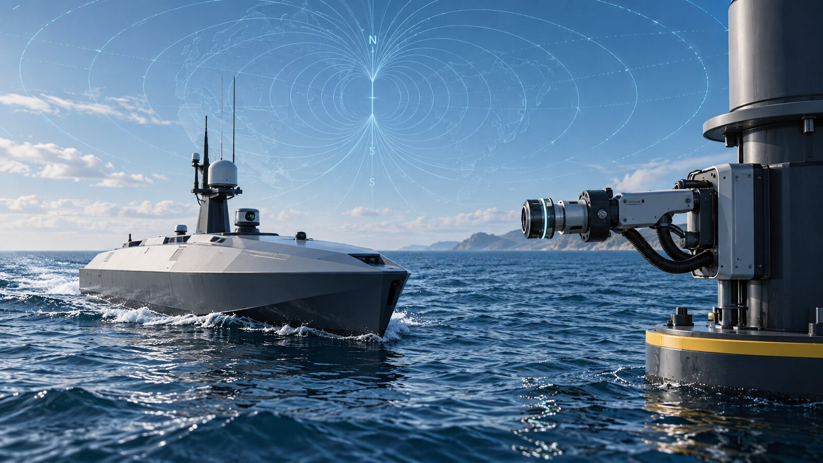
Two new U.S. defense demonstrations address problems that increasingly limit autonomous operations: how an uncrewed vehicle stays on mission without returning to base, and how an aircraft navigates when GPS is unavailable or unreliable. The tests do not introduce an operational UAV product, but they show enabling technologies moving from concept toward realistic trials.
Navy demonstrates robotic refueling for an unmanned vessel
On September 3, the U.S. Department of War reported that a Navy-industry team had demonstrated a robotic, towable system that could capture, refuel and release a remotely controlled unmanned surface vessel at sea. The demonstration occurred off Virginia using the Navy-owned T38 surface vessel and the training support vessel USNS Vindicator.
According to the Naval Air Warfare Center Weapons Division account, the team completed dozens of full-cycle exercises, transferred 400 gallons of fuel and accumulated about 100 connection cycles during the days leading up to and including the event. The team moved from concept to on-water testing in seven months.
Those numbers describe a controlled demonstration, not a deployed autonomous refueling network. The T38 was remotely controlled, and the support vessel towed the connector. The Navy identified the next milestone as a fully end-to-end autonomous evolution covering rendezvous, approach, capture, fuel transfer, disconnection and return to mission.
Why refueling is an autonomy problem—not only a fuel problem
Long endurance is useful only if the vehicle can be supported without repeatedly sending people into the same operating area. Returning to port interrupts coverage and consumes transit time. Sending a crewed ship to service an uncrewed platform can also reduce the safety and cost advantages that autonomy is supposed to provide.
The Navy’s immediate use case is maritime: keeping distributed sensor platforms available during long-range weapons testing and, eventually, supporting fleet operations. The broader engineering lesson applies across unmanned systems. Persistent operations depend on automated support infrastructure—charging, fueling, inspection, data transfer and fault recovery—not simply a vehicle with a longer advertised range.
Commercial drone operators can see the same pattern in smaller form with automated docks. A docked aircraft may launch and recharge without an on-site pilot, but weather limits, communications, maintenance and regulatory authority still determine whether the operation is truly scalable. Our recent coverage of hydrogen-powered UAS manufacturing examines another approach to the endurance side of that equation.
DIU reports a GPS-free magnetic-navigation milestone
A separate September 4 announcement from the Defense Innovation Unit described a flight test of Honeywell’s magnetic-navigation prototype, or MagNav. The system uses sensors to compare measurements of Earth’s magnetic field with a mapped magnetic signature, providing an external navigation reference that does not depend on satellite signals.
The test system flew aboard an Embraer 170—not an unmanned aircraft—on a route from the Puget Sound area to southern Alaska and back. DIU said the aircraft operated over the Pacific for four hours and 23 minutes without GPS and that MagNav improved position accuracy by 89 percent compared with traditional backup navigation methods. Navigation information was displayed to the pilots on standard tablets.
That 89-percent figure is an agency-reported comparison from this specific test. DIU’s announcement does not provide the underlying error values, test protocol or an independent validation dataset, so it should not be interpreted as a universal performance guarantee. Honeywell and DIU plan a later demonstration aboard a C-17 cargo aircraft.
Why GPS-free navigation matters for UAVs
Most civilian drone missions use global navigation satellite systems for positioning, route following, geofencing and return-to-home functions. Interference, terrain, hardware faults or deliberate jamming can make that dependency a single point of failure. In higher-risk operations, resilient navigation may combine GNSS with inertial sensors, visual navigation, terrain matching, radio aids or other independent references.
Magnetic navigation is attractive because Earth’s field cannot be switched off like a radio signal. It also introduces practical questions: sensor size and cost, magnetic interference from the aircraft itself, map quality, achievable accuracy, regional variation and integration with flight-control systems. The September test shows progress at aircraft scale, but it does not establish that the system is ready for small UAVs or approved for autonomous civil operations.
The shared takeaway: persistence requires a complete system
The refueling and navigation demonstrations attack different failure points, but they support the same direction of travel. An autonomous vehicle cannot remain useful merely because it can launch without a person onboard. It must continue navigating, communicating, receiving energy, recognizing faults and returning safely when conditions change.
- Verified: the Navy demonstrated repeated robotic connections and fuel transfer to a remotely controlled surface vessel.
- Verified: DIU tested MagNav for more than four hours over the Pacific aboard a crewed Embraer 170.
- Not yet demonstrated: a complete autonomous refueling cycle without human control.
- Not yet established: MagNav performance, size or certification readiness for small civil UAVs.
What happens next
For maritime autonomy, the next meaningful evidence will be the Navy’s planned end-to-end autonomous refueling run. For magnetic navigation, the C-17 demonstration should provide another test of integration and performance at larger scale. UAV developers should watch for published accuracy data, environmental limitations, sensor specifications and evidence that the technology can be reduced to the size, weight, power and cost constraints of uncrewed aircraft.
Disclosure: This article contains no affiliate links or paid placements. The featured image is an original editorial illustration and does not depict the specific Navy demonstration equipment.