YellowScan unveiled the Venturer at Geo Week 2026 in Denver (February 16–18, 2026) as a survey-grade UAV LiDAR payload for operators who need high-density mapping, local data processing and a procurement-friendly non-Chinese platform. Its combination of a RIEGL miniVUX-3 laser scanner and Trimble Applanix navigation puts it well above entry-level mapping sensors—but price, airframe integration and the exact procurement standard still need careful checking before purchase.
Who the Venturer is for
The Venturer is aimed at professional survey firms, utilities, forestry teams, engineering contractors and government programs. Those users are paying for repeatable centimeter-class results, vegetation penetration and a complete post-processing workflow rather than a low-cost way to produce attractive point clouds. If you are still deciding whether a project needs LiDAR at all, start with our LiDAR vs. photogrammetry guide.
It is especially relevant when a project requires locally processed data or excludes certain foreign-made equipment. YellowScan describes the system as NDAA compliant and highlights French design and manufacturing. Buyers should still verify the exact solicitation, agency clause and complete aircraft-payload configuration: an NDAA claim for the sensor does not automatically make every drone, radio, controller or computer in a package eligible for every U.S. contract.
Meaningful specifications
The published configuration centers on RIEGL’s miniVUX-3 UAV scanner and an Applanix APX-RTX 20 GNSS-inertial solution. YellowScan and current product documentation list up to 300,000 shots per second, as many as five echoes per shot and a 360-degree field of view, with a 120-degree burst mode. Those multiple returns are useful in forests because some pulses can reach branches, understory and ground, but no sensor guarantees complete bare-earth coverage through every canopy.
- Published precision: approximately 1.5 centimeters under stated conditions
- Published accuracy: approximately 2 centimeters under stated conditions
- Typical flight height: 100 meters AGL
- Maximum published flight height: 120 meters AGL
- Laser range: up to 150 meters
- Typical point density example: 150 points per square meter at 50 meters AGL and 5 m/s
- Cameras: dual embedded global-shutter RGB cameras with a 125-degree field of view
- Typical autonomy: about 1 hour, per YellowScan
- Base weight: about 2.45 kilograms, excluding battery and aircraft
These are manufacturer specifications, not results from All About UAVs testing. Actual accuracy depends on GNSS conditions, base or correction data, calibration, trajectory processing, flight geometry, surface reflectivity and quality-control procedures. Surveyors should require a representative dataset and check points before promising a deliverable tolerance.
Cameras and processing
The published Venturer configuration includes dual embedded global-shutter RGB cameras for point-cloud colorization, and YellowScan says the system also works with a broad selection of camera modules. Any camera adds weight, data volume and processing steps, so buyers should confirm the precise module, lens, footprint and aircraft endurance in the quoted configuration.
CloudStation is YellowScan’s desktop processing environment. The important ownership benefit is local processing: sensitive trajectories and point clouds need not be uploaded to a public cloud merely to produce standard outputs. That can simplify security reviews, but customers should still document license terms, workstation requirements, updates, offline activation, export formats and long-term access to projects.
Aircraft integration and operating limits
A 2.45-kilogram sensor is not a universal drop-in payload. The aircraft must support the payload mass, mount, power draw, center of gravity, vibration isolation and data connections while retaining sufficient endurance and regulatory margin. YellowScan markets compatibility with multirotor, helicopter and fixed-wing aircraft through its Quick Release Adapters and lists optional brackets for the DJI M400 and a universal fit, but operators should obtain written confirmation for the exact aircraft, adapter, camera and cable set.
For U.S. operations, the aircraft’s total takeoff weight and mission still determine the applicable FAA requirements. A mapping sensor does not authorize flight beyond visual line of sight, over people or in controlled airspace. Public aircraft and federal contracting rules are separate questions from ordinary Part 107 compliance.
The FCC is a separate check. Its December 22, 2025 Covered List action covers foreign-produced drones and drone “critical components,” a category that includes sensors, cameras and navigation systems designed primarily for drones, with limited exemptions and protection for equipment authorized before that date. The FCC’s pending “military-grade” proposal (PS Docket 26-189), which targets foreign-made drones carrying LiDAR or thermal sensors, had not been adopted as of October 17, 2026. Pairing the Venturer with a DJI aircraft also puts the airframe itself inside those proceedings. Ask the dealer to confirm in writing how the full package is treated before you commit to a long-term fleet plan.
Price and availability
YellowScan and U.S. dealers market the Venturer through a request-a-quote process, and the manufacturer does not publish a universal U.S. list price. As of October 2026, Frontier Precision lists the Venturer kit (YSVENTKIT-AP) as in stock with call-for-price, and Volatus Drones sells it through a contact-to-purchase form. A useful quote should separate the sensor, IMU option, cameras, mount, CloudStation and POSPac licenses, training, shipping, support and aircraft integration. Treat any package price as configuration-specific.
Alternatives
The DJI Zenmuse L2 is a lower-cost integrated option for compatible DJI aircraft, while YellowScan’s own Surveyor Ultra, Explorer and Voyager address different combinations of weight, range, altitude and accuracy. Phoenix LiDAR and other integrators also assemble RIEGL- or Hesai-based systems. The right comparison is not scanner branding alone: examine total aircraft cost, achievable coverage per hour, calibration workflow, software licensing, support location and procurement eligibility.
Recommendation
The Venturer looks strongest for organizations that already know why they need a miniVUX-class scanner: dense vegetation, corridor work, complex surfaces or security-sensitive projects. Its published performance, local workflow and integration flexibility are credible advantages. It is harder to justify for occasional mapping or teams without survey control and LiDAR-processing expertise.
Before buying, request a complete bill of materials, a sample dataset matching the intended terrain, an accuracy report, the supported-aircraft matrix and written confirmation of the procurement representation being relied upon. A field demonstration using the proposed aircraft and camera is more valuable than comparing headline specifications.
Sources
- YellowScan press and product announcement
- YellowScan: Venturer launch press release (Feb. 20, 2026)
- YellowScan: Venturer product page and specifications
- YellowScan product comparison
- Venturer technical profile
- Frontier Precision: Venturer YSVENTKIT-AP U.S. dealer listing
- Greenberg Traurig: FCC bans import of foreign drones and critical components
- DroneDeploy: What’s in scope in the FCC’s military-grade drone proposal
- YellowScan: sales and configuration contact
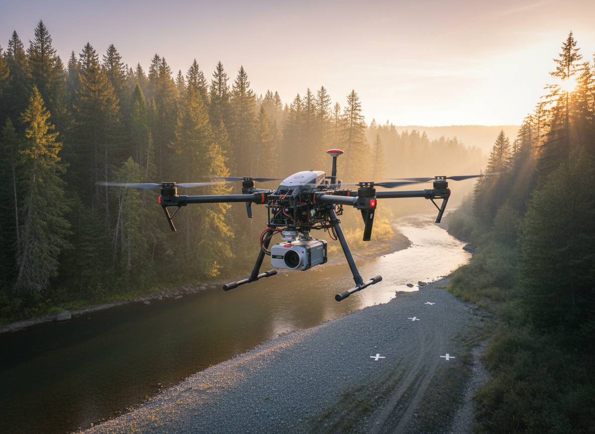
Disclosure: This independent article is based on manufacturer documentation and other cited public sources. All About UAVs has not tested the Venturer, and YellowScan did not sponsor or control the editorial conclusions. The featured image is an AI-generated editorial illustration, not a product photograph.
Leave a Reply