The takeaway: The U.S. Navy said on October 14 that a tactical unmanned aircraft completed mission tasks and landed on a moving ship at sea without GPS or direct pilot control, using onboard cameras, motion sensors and guidance software. The demonstration is a meaningful step toward shipboard operations in jammed environments, but it is not an operational fleet capability. The Navy has not disclosed the aircraft, vessel, sea state, number of recoveries, landing accuracy or failure rate.
What the GPS-denied drone ship landing demonstrated
The Naval Air Warfare Center Aircraft Division, or NAWCAD, announced the result on October 14. According to Marine Log’s report based on the Navy release, a tactical drone flew mission tasks and recovered aboard a pitching vessel at sea while satellite navigation was jammed or unavailable. The aircraft used commercial-standard cameras, motion sensors and onboard electronics rather than direct pilot control.
The test addresses two separate problems. First, the aircraft must navigate when GPS cannot provide a dependable position. Second, it must estimate its position and motion relative to a deck that is moving forward while pitching, rolling and heaving. A system can solve ordinary GPS-denied navigation and still fail during the final seconds of a shipboard approach.
NAWCAD’s software uses the aircraft’s camera to recognize the ship’s shape and visual cues, then guides the approach while control algorithms predict the deck’s vertical motion. Defence Blog reported that the work came from the center’s Maritime Autonomous Guidance-Navigation-Control Intelligent Coupled Systems Lab.
Why the software-first approach matters
Traditional automated shipboard recovery can depend on dedicated ship sensors, radar, deck equipment and modifications. NAWCAD says those systems can cost millions of dollars and take months to install. Its alternative moves more of the landing problem onto the aircraft by combining existing mission cameras with guidance, navigation and control software.
If the approach survives operational testing, it could reduce the amount of specialized equipment required on smaller ships and allow more vessels to receive unmanned aircraft. That would matter for surveillance, communications relay, logistics and resupply missions across a distributed fleet.
However, a software upgrade does not eliminate every integration task. Aircraft still need compatible sensors, adequate computing power, calibrated cameras, reliable flight controls and safe logic for losing visual contact with the deck. Ships also need procedures for deck clearance, communications, weather limits, aborts, emergencies and interaction with crewed aircraft.
What the Navy has not published
The available reports do not identify the tactical drone or the ship used for the at-sea demonstration. They also omit the sea state, wind, visibility, approach geometry, deck speed, number of attempts, successful-recovery count, touchdown dispersion and whether a safety pilot could intervene. No independent test report or video showing the complete at-sea sequence was located.
Those gaps limit what can be concluded. A successful recovery establishes feasibility under the tested conditions; it does not prove reliable performance across different aircraft, ships, lighting, weather or electronic-warfare environments. Claims that the software works with nearly any UAS computer hardware and can scale from small quadcopters to combat-class aircraft remain NAWCAD assertions until demonstrated across representative platforms.
The phrase “GPS-denied” also needs care. The reports say satellite navigation was jammed or unavailable, but they do not describe the jamming method, signal environment or how the aircraft handled other possible communications disruptions. Completing a landing without GPS does not necessarily mean the entire mission was performed without every external data link or navigation aid.
The next step is operational testing
Ocean News & Technology reported that initial flight demonstrations are complete and the software is ready for operational testing on fleet platforms. NAWCAD plans to apply it to larger aircraft, including tactical resupply drones, and is working with the Navy’s Small Tactical Unmanned Aircraft Systems program office, the Collaborative Combat Aircraft effort and DARPA’s EVADE project.
Operational testing is a new phase, not a deployment announcement. It should expose the system to representative decks, crews, weather and mission timelines while measuring accuracy, repeatability, workload and safe recovery after faults. A transition “pipeline” does not establish that a program has adopted the software, funded production or set a fielding date.
DARPA describes EVADE as a rapid demonstration of five vertical-takeoff aircraft designs weighing under 330 pounds. The project targets long endurance, useful payloads and infrastructure-light operation. That context explains the interest in ship recovery, but the Navy announcement does not say the GPS-denied landing software has been integrated into all five EVADE designs.
What this means for UAV operators
The engineering lesson reaches beyond naval aviation. Autonomous landing depends on relative navigation: the aircraft must understand where it is compared with a landing target, not simply where both appear on a global map. Similar techniques can support recovery on vehicles, offshore platforms and mobile logistics sites when GNSS is unreliable.
But vision-based recovery also has familiar constraints. Glare, darkness, spray, fog, featureless surfaces, vibration and camera contamination can degrade the cues the system needs. Operators should look for test data covering those conditions, along with defined abort behavior and an independent navigation fallback.
The site’s recent Black Recon review examined another system designed around operations where GNSS and communications may be disrupted. The architectures differ, but both illustrate the same procurement rule: “GNSS-denied” should lead to questions about the tested environment, fallback sensors, failure modes and measured performance—not be accepted as a complete capability statement.
What to watch next
- Named platforms: which aircraft and fleet vessels receive the software for operational testing.
- Recovery data: successful landings, attempts, touchdown accuracy and abort rates.
- Environmental envelope: tested sea states, wind, visibility, lighting and deck motion.
- System boundaries: which sensors and data links remain available when GPS is denied.
- Human oversight: how operators monitor the approach and when they can intervene.
- Program transition: a funded integration, acquisition decision or fielding schedule.
The demonstration shows that onboard vision and motion estimation can support a ship landing without GPS under at least one live-flight test configuration. Its real value will be determined by repeatability, environmental robustness and successful integration into fleet aircraft—not by the announcement alone.
Sources and disclosure
- Marine Log: U.S. Navy demonstrates successful drone ship landing without GPS (October 15, 2026)
- Defence Blog: U.S. Navy teaches drones to land on ships without GPS (October 15, 2026)
- Ocean News & Technology: NAWCAD GPS-denied navigation and ship landing (October 14, 2026)
- DARPA: EVADE drone capabilities for warfighters (June 17, 2025)
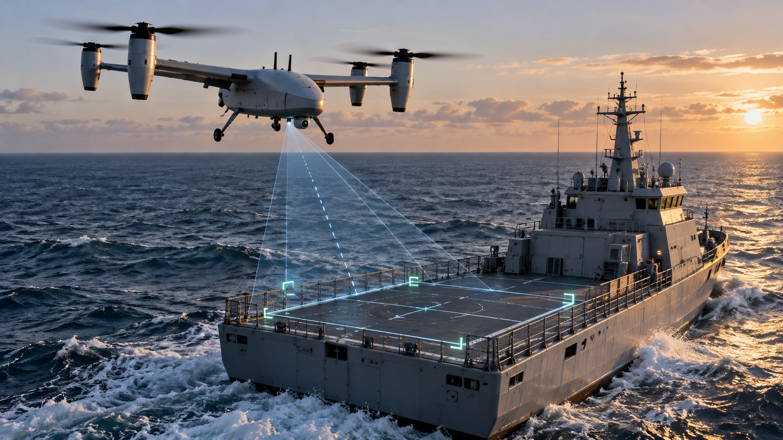
Featured image: Conceptual editorial illustration generated with AI for All About UAVs. It does not depict the test aircraft, test vessel or an operational deployment. No affiliate links, sponsorship or paid placement are included.
Leave a Reply